I’ve long been fascinated by the immense, slow-motion ballet of our planet’s tectonic plates. It’s a drama that unfolds over eons, shaping continents and oceans from a perspective so vast it’s almost beyond human comprehension. Today, I want to delve into a specific, and perhaps less commonly discussed, aspect of this grand geological theater: what I refer to as “tectonic reconstruction” and the intriguing, often enigmatic, structures I’ve termed “longitudinal blobs.”
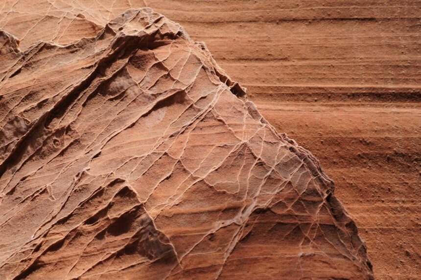
Before we can talk about reconstruction or these longitudinal blobs, we need to establish a foundational understanding of the Earth’s crust. Think of our planet as a hard-boiled egg. The shell, brittle and cracked, represents the lithosphere – the rigid outer layer comprising the crust and the uppermost part of the mantle. This lithosphere isn’t a single, unbroken shell. Instead, it’s fractured into a mosaic of massive pieces, the tectonic plates, which are constantly in motion, albeit at imperceptible speeds to our human senses.
The Driving Forces: Mantle Convection
The engine room of this tectonic machinery lies deep within the Earth. The mantle, the layer beneath the lithosphere, is not static. It’s a zone of immense heat, where radioactive decay and residual heat from the planet’s formation create slow, churning currents – a process analogous to boiling water in a pot. Hotter, less dense material rises, spreads laterally beneath the lithosphere, cools, becomes denser, and then sinks back down. This convection, like a vast, sluggish conveyor belt, drags and pushes the overlying tectonic plates.
Plate Boundaries: Where the Action Happens
The interactions between these plates define their boundaries, and it’s at these interfaces that the most dramatic geological events occur. We categorize these boundaries into three main types:
Divergent Boundaries: Rifting Apart
At divergent boundaries, plates move away from each other. Imagine two hands slowly pulling apart a piece of dough. Magma from the mantle wells up to fill the gap, creating new crust. This is how mid-ocean ridges are formed, vast underwater mountain ranges where seafloor spreading is active. Continents can also rift apart, eventually leading to the formation of new oceans, as witnessed by the East African Rift Valley.
Convergent Boundaries: Colliding Together
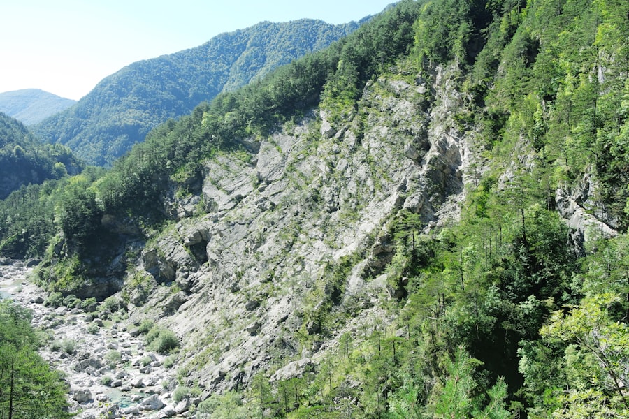
Convergent boundaries are where plates collide. This can manifest in several ways, depending on the types of plates involved. When an oceanic plate meets a continental plate, the denser oceanic plate is forced beneath the continental plate in a process called subduction. This creates deep ocean trenches and volcanic arcs on the overriding continental plate, like the Andes Mountains. When two oceanic plates converge, one typically subducts beneath the other, forming deep trenches and island arcs. Finally, when two continental plates collide, neither can easily subduct, leading to immense crumpling and uplift, forming massive mountain ranges like the Himalayas.
Transform Boundaries: Sliding Past
Transform boundaries are where plates slide horizontally past each other, like two rough surfaces grinding together. Crust is neither created nor destroyed here, but the immense friction can build up stress, which is periodically released as earthquakes. The San Andreas Fault in California is a classic example of a transform boundary.
Tectonic reconstruction is a fascinating field that explores the movement and interaction of Earth’s tectonic plates over geological time. A related article that delves into the concept of tectonic reconstruction blobs and their significance in understanding the longitude of tectonic features can be found at this link: Tectonic Reconstruction Blobs and Longitude. This article provides insights into how these geological formations can inform scientists about past continental configurations and the dynamic processes that shape our planet.
Tectonic Reconstruction: Piecing Together the Past
Now, let’s move to the concept of tectonic reconstruction. This is essentially the geological detective work of piecing together where continents and ocean basins once were, how they moved, and how they interacted over millions, even billions, of years. We can’t directly see these ancient configurations, so we reconstruct them using a variety of indirect evidence. It’s like being given fragments of a vast, ancient tapestry and attempting to recreate the original picture.
Paleomagnetism: A Frozen Compass
One of the most powerful tools in our reconstruction toolkit is paleomagnetism. As magma cools and solidifies into rock, magnetic minerals within it align with the Earth’s magnetic field at that time. This alignment is essentially a snapshot, a frozen compass, indicating the direction and intensity of the Earth’s magnetic field when the rock formed.
Magnetic Stripes on the Seafloor
A crucial discovery was the pattern of magnetic stripes on the ocean floor. Along mid-ocean ridges, where new seafloor is constantly being created, the Earth’s magnetic field periodically flips its polarity. As the lava cools, it records this changing magnetic field. This results in symmetrical bands of normal and reversed polarity on either side of the mid-ocean ridge, akin to the tread marks of a giant, geological printing press. These magnetic stripes provide a clear timeline of seafloor spreading and allow us to date the ocean floor, revealing when and how fast plates have moved apart.
Apparent Polar Wander Paths
By analyzing the paleomagnetism of rocks on continents, we can also determine the apparent position of the Earth’s magnetic poles at different times in history. However, these “apparent polar wander paths” are only apparent because it’s not necessarily the pole that moved, but the continent itself. By comparing the apparent polar wander paths of different continents, geologists can infer how these continents were positioned relative to each other in the past, providing vital clues for continental drift.
Fossil Evidence: Ancient Migrations
Fossil distributions offer another compelling line of evidence. If we find identical fossilized species of plants and animals on continents that are now separated by vast oceans, it strongly suggests that these continents were once connected. For example, the discovery of the fresh-water reptile Mesosaurus fossils in both South America and Africa is a powerful indicator that these landmasses were once joined.
Permian Flora and Fauna
The distribution of certain Permian flora and fauna, like the seed fern Glossopteris, across continents such as India, Australia, Antarctica, South America, and Africa, was a key piece of evidence that led Alfred Wegener to propose the theory of continental drift and the existence of a supercontinent he called Pangaea.
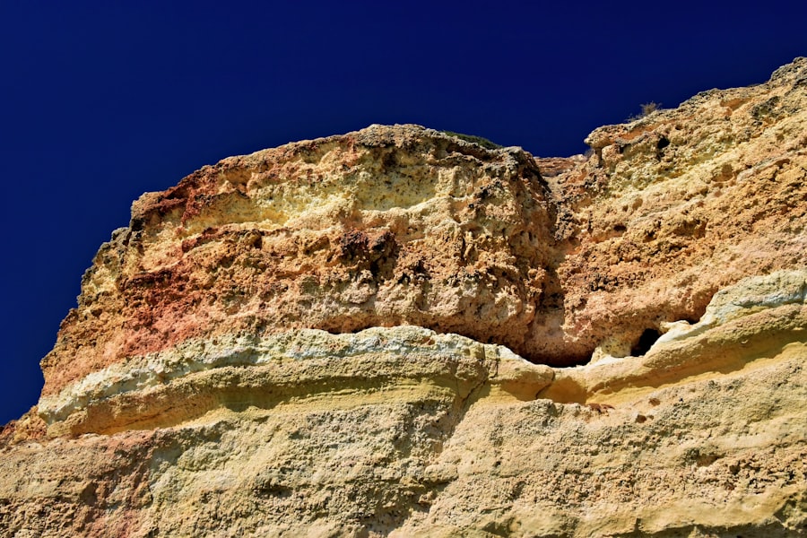
Rock Types and Structures: Geological Fingerprints
Similar rock formations and geological structures, such as mountain ranges, can also be correlated across continents that are now separated. The geological structures of the Appalachian Mountains in North America, for instance, bear remarkable similarities to those found in the Caledonian Mountains of Scotland and Scandinavia, suggesting they were once part of a continuous mountain-building event.
Structural Analogies
Identifying analogous geological structures, such as the timing and style of orogeny (mountain building) and the types of rock units involved, allows us to link disparate geological terrains into a coherent regional history. This means looking for the same story told in different rock chapters scattered across the globe.
Introducing Longitudinal Blobs: Anomalies in the Plate Mosaic
This brings me to the intriguing concept of “longitudinal blobs.” These are not explicitly defined geological terms you’ll find in every textbook, but rather a descriptive framework that I’ve found useful to conceptualize certain geological features and their behavior within the broader context of tectonic reconstruction. I envision them as elongated, somewhat amorphous regions within the tectonic plate framework that behave distinctively during plate interactions and reconstructions. Think of them as elongated, semi-fluid pockets within the otherwise rigid “shell” of the lithosphere that can influence the way plates stretch, compress, and break apart.
Defining Characteristics: Elongated and Distinct
Longitudinal blobs are characterized by their elongated, rather than equant or polygonal, shape. They are often distinguished by subtle yet significant differences in their physical properties compared to the surrounding lithosphere. These might include variations in density, seismic velocity, or rheology (how they deform under stress). These differences can make them more susceptible to deformation or less so during tectonic processes.
Rheological Weaknesses or Strengths
These blobs might represent zones of thickened crust, thinner mantle lithosphere, or the presence of specific mineral assemblages that alter their response to stress. For instance, a zone of warmer, more ductile mantle lithosphere could act as a “weakness” along which faulting and rifting might preferentially occur. Conversely, a zone of unusually strong lithosphere could act as a buttress, influencing the direction of plate movement.
Manifestations in the Geological Record: Diverse and Subtle
The manifestations of these longitudinal blobs are diverse and often subtle, requiring careful interpretation of geophysical and geological data. They can influence the orientation of rifts, the pathways of magma, and the patterns of earthquake distribution.
Rift System Orientations
In continental rifting settings, the presence of longitudinal blobs can significantly influence the orientation and segmentation of the resulting rift valleys. Instead of forming a single, straight rift, the presence of these underlying structures can lead to a series of en echelon faults and basins, creating a complex, zig-zagging rift system. This is like having an invisible hand guiding the tearing process.
Volcanic Province Alignment
Similarly, in settings where volcanic activity is linked to tectonic processes, such as along passive continental margins or within continental rift zones, the alignment of volcanic provinces can sometimes reflect the underlying structure of these longitudinal blobs. Magma may find easier pathways to the surface along these pre-existing zones of weakness.
Longitudinal Blobs in Action: Examples from Plate Tectonics
Let’s explore some hypothetical or observed scenarios where the concept of longitudinal blobs becomes particularly relevant in understanding tectonic processes and reconstructions. While definitive geological formations explicitly labeled as “longitudinal blobs” are rare, we can identify features that exhibit their described characteristics and whose behavior aligns with this conceptualization.
Intraplate Deformation and Stress Transmission
One area where longitudinal blobs might play a role is in intraplate deformation. While most deformation occurs at plate boundaries, tectonic stresses can also propagate into the interior of plates, leading to earthquakes and faulting far from the edges. The presence of underlying longitudinal blobs, with their distinct rheological properties, could channel or localize these stresses, leading to localized deformation within the plate. Imagine a river flowing smoothly for a long stretch, but encountering a series of submerged, elongated rocks that cause the water to eddy and swirl in specific patterns.
Stress Concentration Zones
These blobs could act as zones of stress concentration. When a stress is applied to the lithosphere, these regions, being either weaker or stronger, will respond differently. A weaker blob might deform more readily, creating faults or zones of ductile flow. A stronger blob might resist deformation, causing stress to build up in its vicinity, eventually leading to brittle failure and earthquakes.
Influence on Continental Breakup and Ocean Basin Formation
Understanding the processes of continental breakup, the precursor to ocean basin formation, is crucial for tectonic reconstruction. The breakup of supercontinents like Pangaea was not a uniform process. The presence of pre-existing lithospheric heterogeneities, which could be conceptualized as longitudinal blobs, likely played a significant role.
Pre-Rift Structures
These blobs, formed during earlier tectonic events or representing areas of different crustal thickness or mantle composition, could pre-condition the lithosphere for breakup. They might create zones of weakness along which initial rifting begins, influencing the eventual orientation and geometry of the new ocean basin. Think of them as pre-existing scars on the lithosphere that dictate where the next fracture will occur.
Passive Margin Development
The development of passive continental margins, the edges of continents that border ocean basins where no active plate boundary exists, can also be influenced by these structures. The subsidence and thinning of the continental crust at these margins may not be uniform, potentially reflecting underlying lithospheric heterogeneities.
Tectonic reconstruction is a fascinating field that explores the movement of Earth’s plates over geological time, and recent studies have highlighted the significance of tectonic reconstruction blobs in understanding these shifts in longitude. For a deeper insight into this topic, you can read a related article that discusses the implications of these blobs on our understanding of plate tectonics and continental drift. This article can be found at this link, where you will discover how these geological features contribute to our knowledge of Earth’s dynamic history.
Reconstruction Challenges and the Role of Longitudinal Blobs
| Blob ID | Longitude (°) | Latitude (°) | Age (Ma) | Tectonic Plate | Reconstruction Model | Notes |
|---|---|---|---|---|---|---|
| Blob-001 | 45.2 | -12.5 | 150 | Pacific Plate | GPlates v2.0 | Mid-ocean ridge segment |
| Blob-002 | -78.9 | 34.1 | 120 | North American Plate | GPlates v2.0 | Subduction zone marker |
| Blob-003 | 10.5 | 5.3 | 200 | African Plate | GPlates v2.0 | Continental rift zone |
| Blob-004 | 130.7 | -25.4 | 90 | Australian Plate | GPlates v2.0 | Transform fault trace |
| Blob-005 | -45.3 | 60.2 | 180 | Eurasian Plate | GPlates v2.0 | Ancient collision zone |
The process of tectonic reconstruction, while advanced, is fraught with challenges. Reconstructing billions of years of Earth’s history, with its cycles of creation, destruction, and transformation of crust, is akin to assembling a colossal jigsaw puzzle with many missing pieces and frequently changing edge configurations. The concept of longitudinal blobs, while speculative in its explicit naming, offers a potential framework for understanding some of these challenges and for refining our reconstructions.
Inferring Past Rheology
One of the primary challenges is inferring the rheology of the lithosphere in the past. The strength and deformational behavior of the crust and mantle vary significantly depending on temperature, composition, and the presence of fluids. Longitudinal blobs represent regions where these properties may have differed from the surrounding lithosphere, and accurately inferring these past rheological states is critical for accurate reconstructions.
Lithospheric Heterogeneity
The Earth’s lithosphere is not homogenous. It is a complex tapestry woven from rocks of varying ages, compositions, and thermal states. Longitudinal blobs highlight the importance of recognizing and quantifying this heterogeneity when attempting to reconstruct past plate configurations.
Resolving Ambiguities in Plate Motion Models
Plate motion models, which depict the movement of tectonic plates over time, are based on extensive datasets. However, ambiguities can arise, particularly in older geological periods where data is sparser or more challenging to interpret. The presence of longitudinal blobs could help resolve some of these ambiguities by providing a mechanism for explaining observed patterns of deformation or structural alignment that might otherwise be difficult to account for.
Explaining Non-Uniform Deformation
If our models assume uniformly behaving lithosphere, we might struggle to explain certain geological features that exhibit non-uniform deformation. Recognizing that certain “blobs” within the plate might have acted differently can provide a more nuanced and accurate explanation for these observations, leading to more robust reconstructions.
The Future of Tectonic Reconstruction
As our ability to gather and process geophysical and geological data continues to improve, we can expect to refine our understanding of these complex lithospheric structures. High-resolution seismic imaging, advanced geodynamic modeling, and more comprehensive paleomagnetic studies will undoubtedly shed further light on the nature and influence of features that can be conceptualized as longitudinal blobs. These conceptual frameworks, like that of the longitudinal blob, are tools to help us navigate the vastness and complexity of Earth’s history, to see the subtle patterns within the seemingly chaotic dance of continents. They are guideposts in our ongoing quest to understand the deep, silent forces that have shaped the world we inhabit.

EXPOSED: The Ring Camera Footage That Ended My Family Fraud!
FAQs
What is tectonic reconstruction?
Tectonic reconstruction is the scientific process of piecing together the past positions and movements of Earth’s tectonic plates. It involves analyzing geological, geophysical, and paleomagnetic data to understand how continents and ocean basins have shifted over millions of years.
What are “blobs” in the context of tectonic reconstruction?
In tectonic studies, “blobs” often refer to visual markers or data points used in mapping and modeling the positions of tectonic plates or geological features. They can represent specific locations, such as paleomagnetic poles or geological formations, that help scientists track plate movements.
How is longitude used in tectonic reconstruction?
Longitude is a geographic coordinate that specifies the east-west position of a point on Earth’s surface. In tectonic reconstruction, accurate longitude measurements are crucial for determining the past locations of tectonic plates and geological features, enabling scientists to create precise models of plate movements.
Why is tectonic reconstruction important for understanding Earth’s history?
Tectonic reconstruction helps scientists understand the formation and breakup of supercontinents, the evolution of ocean basins, and the distribution of earthquakes and volcanoes. It provides insights into past climate changes, biological evolution, and natural resource distribution by revealing how Earth’s surface has changed over geological time.
What tools and data are commonly used in tectonic reconstruction involving longitude?
Common tools include paleomagnetic data, GPS measurements, seismic tomography, and geological mapping. Paleomagnetic data provide information on the historical latitude and longitude of rock formations, while GPS and seismic data help track current plate movements. Combining these data allows for detailed reconstructions of tectonic plate positions through time.