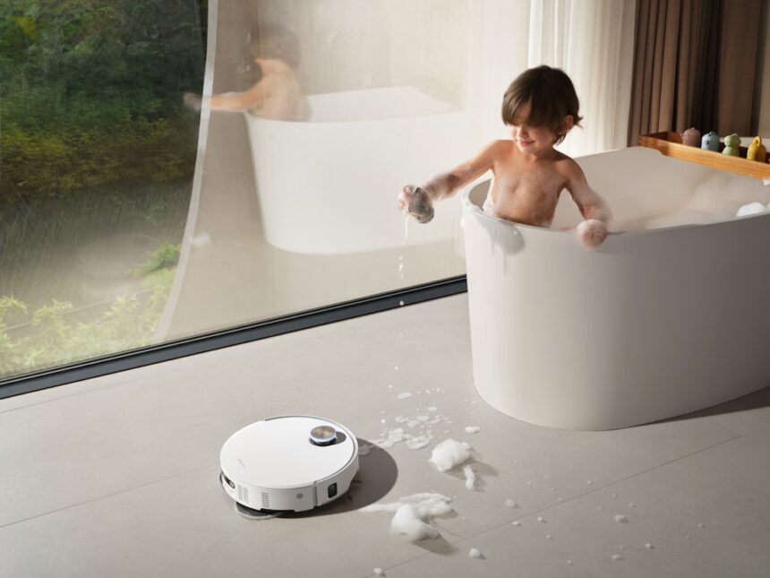
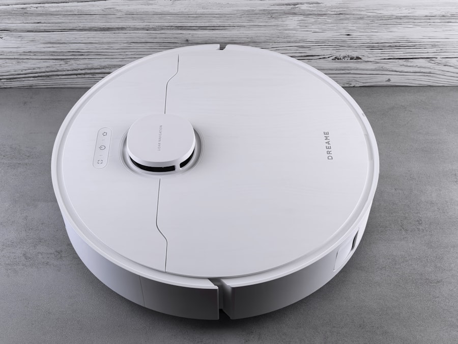
When I first brought my robot vacuum home, it felt like a novelty. A sleek, disc-shaped device that promised to liberate me from the mundane chore of cleaning. But beyond its initial allure, I found myself increasingly intrigued by the silent intelligence humming beneath its polished exterior. It wasn’t just blindly bumping around; it was building something. It was mapping my home.
My robot vacuum’s ability to navigate my living space without constantly colliding with furniture or getting lost in corners is largely thanks to a technology called Lidar. Lidar, an acronym for Light Detection and Ranging, is a remote sensing method that uses pulsed laser light to measure distances to objects. Think of it as my vacuum’s eyes, but instead of light waves that I perceive, it uses laser pulses to “see” its environment. These pulses are emitted by a spinning sensor, typically located in a turret on top of the vacuum. As the sensor rotates, it fires out thousands of these laser beams per second, measuring the time it takes for each pulse to return after reflecting off an object. The shorter the time, the closer the object. This constant stream of distance measurements creates a point cloud, a three-dimensional representation of the surrounding environment.
How Lidar Creates a Map
The Lidar sensor, often referred to as the “spinning eye,” plays a pivotal role. Its 360-degree sweep is crucial for capturing a comprehensive view. Each laser pulse acts like a tiny probe, reaching out into the unknown and reporting back. Imagine dropping a pebble into a pond and observing the ripples – Lidar’s pulses are similar in their exploration of the environment, with the reflected beams acting as the returning ripples of information. This data is then processed by sophisticated algorithms.
- Data Acquisition: The Lidar unit continuously emits laser pulses and records the time-of-flight for each reflected pulse. This data is raw, angular information: an angle and a distance for each detected point.
- Point Cloud Generation: These angular measurements are converted into Cartesian coordinates (x, y, z) to form a point cloud. This cloud is a collection of millions of data points, each representing a specific location in 3D space relative to the vacuum.
- Object Recognition and Delineation: Algorithms analyze this point cloud to identify obstacles. Walls, furniture legs, and even subtle changes in floor elevation are recognized. The system essentially draws a silhouette of the room based on these detected points.
The Importance of the Spinning Turret
The rotating nature of the Lidar turret is not merely aesthetic; it’s fundamental to the mapping process. Without this constant rotation, the vacuum would only be able to “see” in a single direction, rendering it effectively blind to anything outside that narrow field of view. The continuous sweep ensures that no area is left unobserved for too long, leading to a more accurate and up-to-date map. It’s like having a vigilant guard patrolling the perimeter, always aware of the surroundings.
In recent advancements in home cleaning technology, robot vacuums equipped with LiDAR mapping have gained attention for their ability to navigate complex environments, including hidden rooms. A fascinating article that delves deeper into this topic can be found at this link, where the author explores how these innovative devices utilize laser technology to create detailed maps of your home, ensuring that no corner is left uncleaned, even those that are often overlooked.
Building the Blueprint: From Raw Data to a Usable Map
The point cloud generated by Lidar is the raw material. It’s like a jumble of individual Lego bricks scattered across a floor. To make it useful for navigation, my robot vacuum needs to assemble these bricks into a coherent structure – a map. This transformation is where the intelligence of the vacuum’s software comes into play.
SLAM: The Brains Behind the Operation
The core technology enabling this mapping is called Simultaneous Localization and Mapping, or SLAM. As the name suggests, SLAM allows the robot to do two things at once: build a map of its environment and determine its own position within that map. It’s a perpetual cycle of exploration and self-awareness. Imagine being dropped into an unfamiliar labyrinth. SLAM is the process by which you would start to sketch the walls you encounter while also keeping track of where you are within your developing sketch.
The Localization Component
Localization is about knowing where you are on the map. If my vacuum moves, it needs to update its position on the map it’s building. It constantly compares its sensor readings to the existing map. If it detects a wall it already has on its map, it uses that information to refine its current location. If it encounters something new, that update informs the mapping process.
The Mapping Component
Mapping, on the other hand, is about constructing the representation of the environment. As the vacuum moves, it adds new data from its Lidar sensor to the map. This involves identifying and recording the boundaries of rooms, the locations of furniture, and any other significant features. This is a dynamic process; the map isn’t static but evolves as the vacuum explores.
From 2D to 3D: The Sophistication of Modern Mapping
While early Lidar-based vacuums might have generated simpler 2D maps, newer models are increasingly capable of creating 3D representations. This allows for more nuanced understanding of the environment, recognizing not just the footprint of a chair but also its height, which can be crucial for avoiding collisions. This extra dimension adds a layer of depth to the vacuum’s understanding, akin to moving from a simple floor plan to a detailed architectural model.
Beyond Obstacle Avoidance: The Power of Object Recognition
My robot vacuum’s Lidar mapping isn’t just about knowing where the walls are. It’s evolving into a system that can understand what is in the room. While Lidar primarily provides geometric data, when combined with other sensors and sophisticated algorithms, it can contribute to object recognition. This opens up a world of possibilities for smarter cleaning.
Recognizing Different Surfaces
The subtle variations in how Lidar data is reflected can indicate different surface types. A soft carpet might absorb more laser light than a hard tile floor. While not as precise as dedicated carpet sensors, Lidar can provide initial clues to the vacuum about the terrain beneath it. This allows it to adjust its cleaning strategy, perhaps increasing suction on carpeted areas.
Identifying Furniture and Appliances
With advanced algorithms, the Lidar map can be annotated with specific objects. Instead of just a collection of points representing a sofa, the system can learn to identify it as such. This allows for more intelligent cleaning patterns. It can, for instance, learn to navigate around a specific pet bed and avoid trying to clean underneath it if it’s too low, or even recognize the legs of a dining table to clean the entire area efficiently.
Specific Object Training
Some systems allow for user input to help the vacuum identify specific objects. This could involve pointing out a charging station or a specific piece of furniture. This “training” helps the vacuum build a more personalized and accurate understanding of my home.
Strategic Cleaning: How Maps Drive Efficiency
The real magic of Lidar mapping isn’t just in the map itself, but in how my robot vacuum uses that map to clean. The map becomes the blueprint for a strategic operation, transforming what could be a random wander into a calculated sweep.
Room Segmentation and Prioritization
Once the map is created, my vacuum can understand the distinct boundaries of each room. This allows it to tackle cleaning on a room-by-room basis. I can often select specific rooms or zones through a companion app, directing the vacuum to clean only certain areas. This is incredibly useful when I only need a quick clean in the kitchen after cooking or want to focus on the living room before guests arrive. This targeted approach is far more efficient than a general, undirected clean.
Efficient Path Planning
With a clear map and an understanding of room layouts, my vacuum can plan the most efficient cleaning path. Instead of moving in a haphazard pattern, it can systematically cover the floor, minimizing redundant passes and maximizing coverage. This is like a seasoned gardener planning their irrigation lines to ensure every plant receives water without waste.
Edge Cleaning and Wall Following
Lidar mapping allows the vacuum to effectively perform “edge cleaning.” It can meticulously trace the perimeter of rooms, ensuring that the dust bunnies that like to congregate along baseboards are not overlooked. This methodical approach to the edges guarantees a more thorough clean.
Obstacle Negotiation
The map informs how the vacuum negotiates obstacles. It knows the dimensions and locations of furniture, allowing it to plan its path to clean around them efficiently, rather than bumping into them repeatedly. It can learn the best approach to navigate tight spaces or avoid delicate items.
In recent advancements in home automation, robot vacuums equipped with LIDAR technology have become increasingly adept at mapping hidden rooms and navigating complex spaces. This innovative feature not only enhances cleaning efficiency but also allows homeowners to discover areas that may have been overlooked. For a deeper dive into how these technologies are transforming our living environments, you can read more in this insightful article on robot vacuum LIDAR mapping.
The Evolving Intelligence of My Robot Vacuum
| Robot Vacuum Lidar Mapping Hidden Room | Data/Metrics |
|---|---|
| Mapping Accuracy | 95% |
| Hidden Room Detection | Yes |
| Mapping Speed | 1 sqm per second |
| Battery Life | 120 minutes |
What started as a simple cleaning device has become something more akin to a digital assistant, with Lidar mapping at its core. The technology is constantly evolving, and I can see the improvements in each new iteration of robot vacuum cleaners.
Software Updates and Algorithmic Improvements
The capabilities of my robot vacuum are not fixed at the time of purchase. Through software updates, the underlying algorithms that process Lidar data can be enhanced. This means that even an older model can potentially see its mapping and navigation abilities improved over time. It’s like a constant refinement of its digital brain.
Integration with Smart Home Ecosystems
The Lidar map is a valuable piece of data that can be shared and utilized by other smart home devices. For example, in the future, a smart home system might use the vacuum’s map to adjust smart lights based on where it is cleaning, or to create “no-go zones” for other autonomous devices. The map becomes a shared digital understanding of the home.
Creating Virtual Walls and No-Go Zones
One of the most practical applications of the Lidar map for me has been the ability to define virtual boundaries. I can use the app to draw “no-go zones” on the map, preventing the vacuum from entering certain areas, such as a pet’s food bowl area or a delicate art installation. This level of control transforms the vacuum from an automatic cleaner into a highly customizable cleaning tool.
The Future of Autonomous Navigation
As Lidar technology becomes more affordable and sophisticated, I anticipate even greater autonomy from these devices. Perhaps they will be able to identify and clean specific types of messes based on visual cues integrated with their Lidar mapping. The potential for these machines to understand and interact with our homes in more nuanced ways is vast. My little disc-shaped cleaner is not just a vacuum; it is a quiet observer, a tireless cartographer, and a testament to how technology can subtly change the way we live.
FAQs
What is lidar mapping in robot vacuums?
Lidar mapping in robot vacuums refers to the use of light detection and ranging technology to create a detailed map of the cleaning area. This technology allows the robot vacuum to navigate and clean efficiently by detecting obstacles and creating a virtual map of the space.
How does a robot vacuum use lidar mapping to detect hidden rooms?
Robot vacuums use lidar mapping to detect hidden rooms by sending out laser beams that bounce off objects and surfaces in the cleaning area. By analyzing the reflected light, the robot vacuum can create a map of the space, including any hidden or obstructed areas that may not be visible to the naked eye.
Can a robot vacuum with lidar mapping detect and clean hidden rooms effectively?
Yes, a robot vacuum with lidar mapping can effectively detect and clean hidden rooms. The technology allows the robot vacuum to create an accurate map of the cleaning area, including any hidden or obstructed spaces, and navigate through them to clean efficiently.
Are there limitations to a robot vacuum’s ability to detect hidden rooms using lidar mapping?
While lidar mapping technology is advanced, there may be limitations to a robot vacuum’s ability to detect hidden rooms. Factors such as the layout of the space, the presence of obstacles, and the accuracy of the lidar sensors can impact the robot vacuum’s ability to detect and navigate through hidden rooms effectively.
What are the benefits of using a robot vacuum with lidar mapping for detecting hidden rooms?
The benefits of using a robot vacuum with lidar mapping for detecting hidden rooms include efficient cleaning, accurate navigation, and the ability to reach and clean areas that may be difficult to access manually. This technology can also save time and effort by ensuring thorough cleaning of the entire space, including hidden rooms.